Tel: +30 694 4859 981
Email: takis@ioannidis.uk
IOANNIDIS
107-109 Ag. Panton St., Kallithea, Athens, GR 17676, GR
")
")
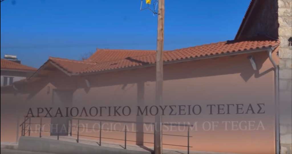
Archaeological Museum of TEGEA
Archaeological Museum of Tegea is an innovative project because it works as an incision to the approach of the designing museums in new era. The Museum organised from the beginning using simultaneously the classical arts and the digital means of contemporary technology.
All applications was created for three (3) Samsung SUR40 Multitouch tables with Microsoft Pixelsense (aka Surface)
The new exhibition of the Museum of Tegea has been based on two principles. The first one concerns the use of archaeological material from the area of Tegeatis, within the framework set in the museological and museographical studies. The gist of the concept is the narrative of the birth, growth and development of the city (Tegea), as revealed through the material remains of human activity in space and time. The second one relates to the introduction of digital technology as a means of the visitors’ understanding in depth of archeology and history of Tegea. Together with the analog visual material, the use of digitised material (archival sources, administrative documents, reports, photographs and drawings), the digital maps prepared, the 3D representations elaborated, the explanatory texts written for this specific purpose and the diagrams prepared on the basis of recent research findings constitute an environment which supports the exhibition program and promote its deeper understanding. Suffice it to say that in the aforementioned environment, the geographical documentation of the archaeological material and of the historical environment in which the former is placed has an important role to play.
In the framework of the project of developing digital interactive applications for the re-exhibition of the Museum of Tegea, there was an opportunity to use accurate and reliable archaeo-spatial data for the elaboration of high-fidelity maps, by making the most of the technological possibilities of modern technology tools (interactive devices and the Internet). The actual archaeological material was used in the direction of developing the concept, i.e. outlining the growth of Tegeatis, as it is deduced through the findings of the excavations. This is probably the first time that the visitor is presented not only with facts, but also with their course in time, with the causal relationships that led to the consolidation of the institution that constitutes the hallmark of the Greek mode of social organisation. In this context, the visitor is motivated to delve into this complex phenomenon through myths, language, political and military history, art, and economic activity. At the same time, apart from the archaeological documentation of the aforementioned elements, the analysis of their spatial dimension is introduced through the science of cartography and geographic information, so as to achieve their documented interconnection with the geographical space of the wider region, in order to understand “historical venue” of the facts and their projection in the present day area.
Three interactive Samsung SUR40 monitors with Microsoft Pixelsense software (http://www.microsoft.com/en-us/pixelsense/default.aspx) were used for the museum's interactive applications. The screens recognize 50 simultaneous finger and palm touches, the direction in which they come from and can perceive and monitor the movement of objects placed on the screen.
The interactive screens were used to create "smart" interactive applications that could visually present the museum's information in a simple way that the visitor could interact with, whether he was a child of a primary or a scientist archaeologist.
Interactive applications show, among other things, the history of exhibits, their way in time and give general and specific information about exhibits. Particular reference was made to interactive applications to support and give the visitor more information, increasing the visitors' interest in the exhibits.
Although the interactive screens used were not internationally used (they were precisely pre-ordered by Samsung) and there were no applications internationally to Microsoft's Pixelsense software, the perfect collaboration with the ΛΘ antiquities office staff in particular with Mr. G. Grigorakakis, the project manager, contributed to the creation of the applications, with the only difficulty being the innovative technology used for the first time internationally.
The purpose of interactive applications is to interact easily with the visitor and special mention was made of it. Usage does not require any presentation or updating to the visitor, applications guide the visitor as needed, and all information is understandable and visual. From visitor feedback from the September 2014 opening of the museum to the public, visitors of all ages have only given good reviews of the apps.
Interactive applications have helped the museum enable the visitor to get information about the museum, its history, exhibits, etc. in an easy and enjoyable way. The amount of information and its complementarity in interactive applications could not be given in any other way.
INTERACTIVE APPLICATIONS CREATIVE TEAM
Grigoris Th. Grigorakakis, Archaeologist of the 39th EPCΑ:
- Author of the texts for the interactive applications as well as for the audiovisual and printed labels of the exhibition.
- Development of the scenarios of Interactive Applications.
- Development of the scenarios of videos and 3D animations.
- Configuration diagrams and legends.
- Editing of english translations.
- Collection, study and classification of the archival material.
- Historic - archaeological documentation and editing of chartographic representations.
- Historic - archaeological documentation of photographic material, and drawings.
- Historic - archaeological documentation and control of the 3D representations of ancient monuments.
Dr. Andreas Tsatsaris, Assistant Professor of Cartography and GIS at the Department of Surveying Engineering at TEI of Athens, scientific collaborator of 39th EPCA, responsible for the final synthesis and of the scientific validity of the cartographic representations.
Panagiotis S. Ioannidis, Information Technology Solutions Architect, responsible for the study, analysis and development of the interactive applications.
Stamatia Karegli, Cultural Technologist and Communications Specialist, responsible for quality control and administration of interactive application digital data.
Marietta Varnava, Architect, responsible for the creation and editing of 3D representations.
Dimitrios Skouloufianakis, Surveying Engineer, responsible for development and editing of geographic data.
Michael Skaltsounakis, Surveying and Geomatics Engineer, responsible for digital data editing.
Chris Vrakotas, Visual Communication Consultant, responsible for video development.
Elias Papakonstantopoulos, Visual Communication Consultant, responsible for animation development.
Georgios Theocharis, English Teacher, responsible for editing and translating textual information.
Publications
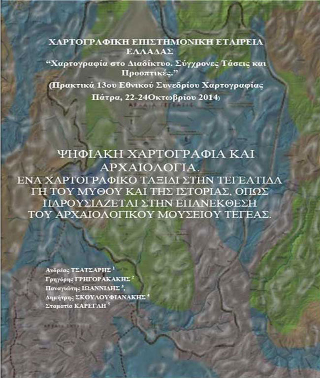
Ενα καινοτόμο τεχνολογικό ταξίδι στη γη του μύθου και της ιστορίας (Ανάτυπο)
Ενα χαρτογραφικό ταξίδι στη Τεγεάτιδα γη του μύθου και της ιστορίας. (Ανάτυπο)